

 4 Terms
Home > Terms > English, UK (UE) > Geotiff
Geotiff
A file format that embeds image registration information directly into a raster file; an industry-neutral raster file format widely used and recognised by all of the major GIS software vendors. ESRI began support for Geotiff at version 7.0 of ARC/INFO and version 3.0 of arcview. Geotiff represents an effort by over 160 different remote sensing, GIS, cartographic, and surveying related companies and organisations to establish a TIFF-based interchange format for georeferenced raster imagery.
0
0
Improve it
- Part of Speech: noun
- Synonym(s):
- Blossary:
- Industry/Domain: Natural environment
- Category: Coral reefs
- Organization: NOAA
- Product:
- Acronym-Abbreviation:
Other Languages:
Member comments
Terms in the News
Featured Terms
Industry/Domain: Translation & localization Category: Terminology management
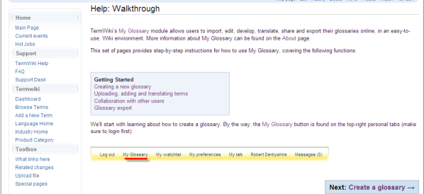
My Glossary
My Glossary enables freelance translators, technical writers, and content managers to store, translate, and share personal glossaries on ...
Contributor
Featured blossaries

Rafael Treviño
0
Terms
1
Blossaries
6
Followers
Deaf Community and Sign Language Interpreting
Category: Culture 1 1 Terms
1 TermsBrowers Terms By Category
- Printers(127)
- Fax machines(71)
- Copiers(48)
- Office supplies(22)
- Scanners(9)
- Projectors(3)
Office equipment(281) Terms
- Osteopathy(423)
- Acupuncture(18)
- Alternative psychotherapy(17)
- Ayurveda(9)
- Homeopathy(7)
- Naturopathy(3)
Alternative therapy(489) Terms
- ISO standards(4935)
- Six Sigma(581)
- Capability maturity model integration(216)
Quality management(5732) Terms
- Natural gas(4949)
- Coal(2541)
- Petrol(2335)
- Energy efficiency(1411)
- Nuclear energy(565)
- Energy trade(526)
Energy(14403) Terms
- Hand tools(59)
- Garden tools(45)
- General tools(10)
- Construction tools(2)
- Paint brush(1)